|
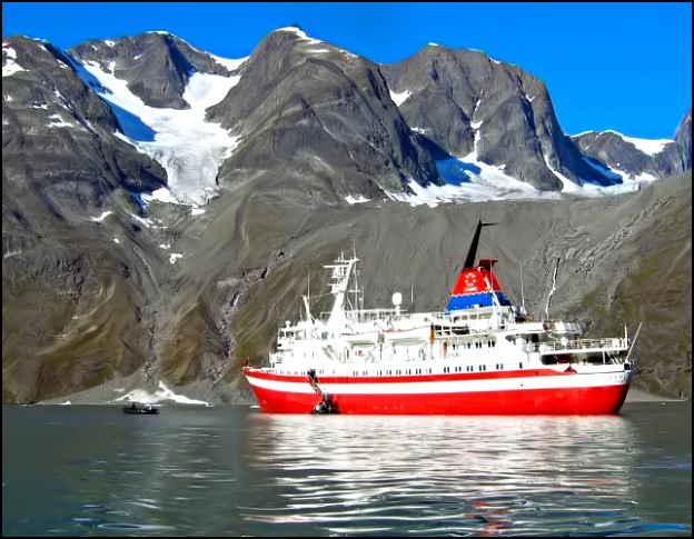
Tâterât Glacier, Greenland - September 9, 2005 Night fell as the ship effortlessly steamed down the smooth waters of the Kangerlussuaq with the ebbing tide. As we entered the Davis Strait around midnight, the 30 knot winds threatened to make life more uncomfortable, but the following sea merely helped us move more quickly along and rocked us all into a comfortable sleep.
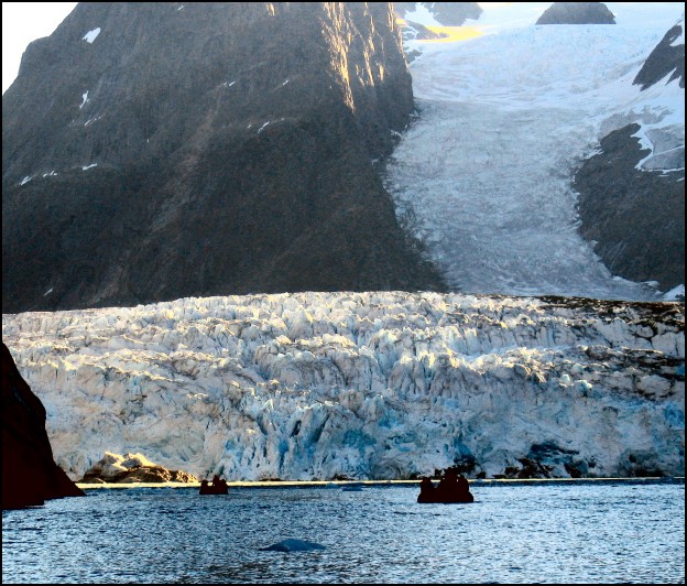
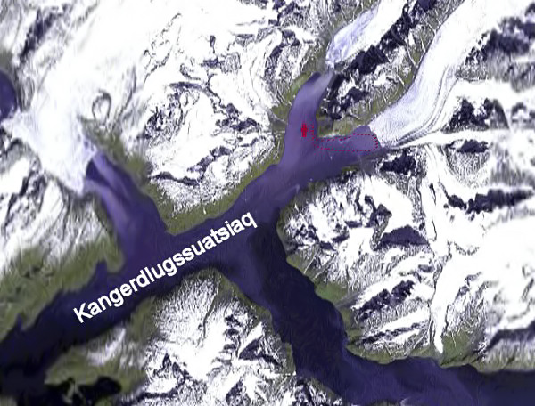
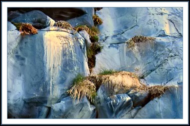
Up on deck before dawn, I discovered we had anchored in the Kangerdlugssuatsiaq (Evighedsfjord) near the Tâterât and Avangnardliup glaciers. Before breakfast we took to the Zodiacs for an exploration of the steep cliffs of the 1813 meter Tâterât peak and the face of the glacier.
Chunks of glacier ice floating in the water take on a beautiful blue colour.
The chunks of “bergy bits” crackle and pop as the ancient air, compressed by tons of glacier, escapes into the atmosphere as the sun warms the floating ice. Finally, we round the last bend and the enormous face of the glacier rises before us, dwarfing our zodiacs. The glacier is fed directly from the Sukkertoppen (Sugar Loaf) ice pack which is an extension of the central ice cap.
Greenland’s ice cap contains 2.5 million cubic km of ice, in places over 3 km thick. The weight of the ice has depressed the center of Greenland so that if the ice were to melt, Greenland would appear as a ring of mountains surrounding a new sea and the global sea level would rise by 6 to 7 meters. The ice of Greenland has been accumulating for 3 million years. Drilling cores in the ice reveals the history of ancient climates and changes in the earth’s atmosphere. Before breakfast, we have breathed in the clear air of past millenia, touched ice formed before the last ice age, and felt the cold breeze descend from the majestic Tâterât Glacier. Life does not get much better than this. The sun is getting higher, and as the day begins to warm we return to the shelter of the M/S Explorer.
Links to more information:
|
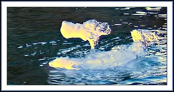 Our Zodiac continued along the rocky shore as we passed numerous fragments of ice carved from the glacier into shapes which could easily have been abstract centerpieces for a fancy dining table. This “dog” catches the first rays of the morning sun.